On Top of Pond Mountain
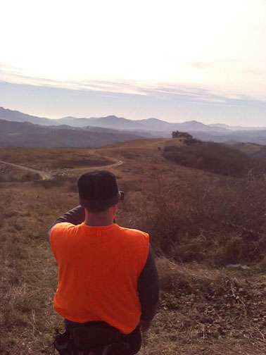
This weekend I went hiking with my father-in-law, Ken, and my brother-in-law, Jackson. Taking a day trip from Shawnna’s grandfather’s place in West Jefferson, N.C., we traveled to Pond Mountain, a 5,000 foot mountain in a remote part of Ashe County. Heading northwest, where the states of Tennessee, North Carolina and Virginia converge, we looked forward to seeing the spectacular view of three states.
Ah, Beautiful Tennova.
Thanks to the efforts of the Blue Ridge Conservancy, 1800 acres of mountaintop land here have been preserved for future generations.
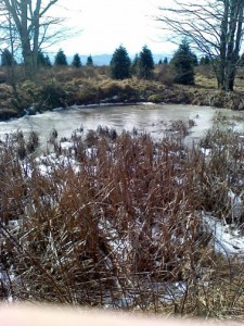
One of the most important things about the Blue Ridge Conservancy’s efforts is the fact that the entire mountain is a major source of water. We found several small ponds on the high ridges of the mountain, and there were numerous small springs bubbling out of the side of the mountain. These springs become the creeks that feed into the New River, one of the oldest rivers in the world. The river flows south to north, just like the Nile.
Pond Mountain was aptly named by Thomas Jefferson’s father, Peter, when he surveyed the North Carolina-Virginia border in the 1700s. I’ve heard that Jefferson’s surveying was slightly off, extending a little bit of North Carolina further north than it should have been. I guess that just means there is more of North Carolina to love now.
Jefferson, along with Joshua Frye, ultimately produced a famous map in 1752, The Fry-Jefferson Map of the Royal Colony of Virginia. Highly influential, this map had serious implications for North Carolina history, as it marked for the first time The Great Wagon Road that thousands of Germans, English and Scot-Irish would take from Pennsylvania to the Yadkin Valley.
As we started hiking up the mountain, we passed fields of Christmas trees. We found more near the summit, and the very top of the mountain was cleared for planting. It made me wonder if they had a partnership with any Christmas tree farmers. After all, this northwestern corner of the state is the Christmas tree capital of the world.
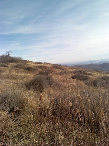
Typical of mountains in this area, we found beautiful grassy balds.
Near the summit we found some stands of Carolina Nightshade, whose yellow
berries were used by the Cherokee Indians for various purposes.
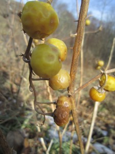 I’ve heard the Cherokee used the nightshade as an antihistamine, a sedative, and a pain reliever for teething babies. I, however, was disappointed that I wasn’t looking at cherry tomatoes. By that time we were getting hungry.
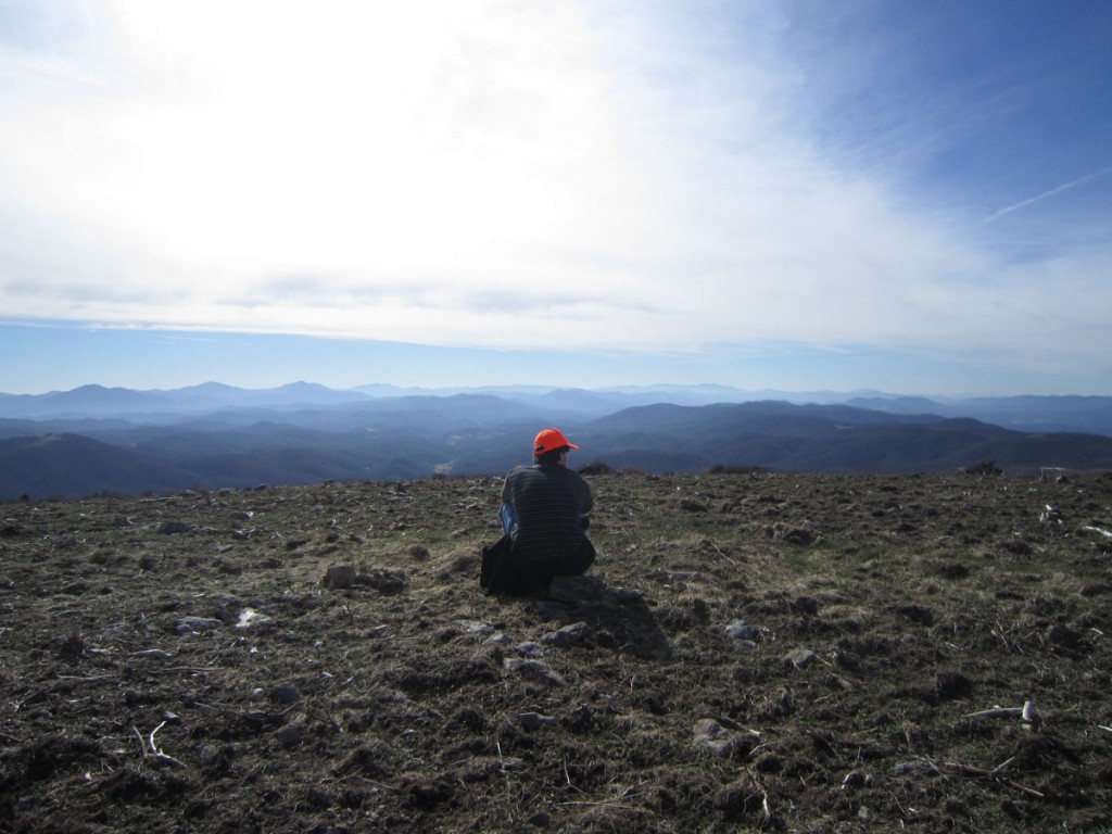
The view at the top was well worth the hike: looking north to Virginia, we could see Whitetop Mountain and Mount Rogers; to the west towards Tennessee, Cherokee National Forest; and to the South and east we saw numerous Ashe and Watauga County Peaks.
We slept well that night!
