Content Creation for Extended Reality
Harnessing the power of augmented reality imaging, 3D digital modeling, spatial mapping, GPS and motion tracking, it should be possible to superimpose digitally recreated historical events into their original space, creating a sense of time travel for the participant/viewer. This would revolutionize the dissemination of historical research to the general public and possibly aid in the research itself.
My vision, in its most advanced and complete form, would combine the experiential aspect of visiting a historical site with the artistry and the engaging and compelling narrative of a well-crafted motion picture. Visitors to a historic site would emerge from a visitor’s center outfitted with the means for receiving visual and auditory information – augmented reality glasses or other “heads up” type of display equipped with speakers.
Visitors to the Lincoln Memorial could stand beside Martin Luther King, Jr. as he gives his “I Have a Dream” speech and look out on the Reflecting Pool with thousands of people stretching back to the Washington Monument. Visitors to Gettysburg Battlefield could stand in the lines of the facing armies and explore the courage it took to charge across the field or to stand your ground when being charged upon. Visitors to the Roman Forum could see markets rise from their excavated foundations and the streets come alive with 1st Century Roman citizens.
This idea occurs to me because I’ve always been fascinated by the space we share with those who came before us. What did they see? How did they experience the world? Is there any value to us trying to see through their eyes? If so, what is it? In what ways did they alter or choose not to alter their environment? How much of their impact is still in evidence today? What lessons can we learn from their choices?
All of the following work informs my vision of creating content for XR (short for Extended Reality, a term which encompasses Virtual Reality – VR, Augmented Reality – AR and Mixed Reality – MR).
Geospatial Approach to History

I’m fascinated by the space we share with our history. Pick a place to stand… on a historic battlefield, the steps of the Lincoln Memorial, or an average street corner and imagine what it was like long ago. In your mind’s eye, try to visualize the battle taking place around you, the throngs gathered to hear Martin Luther King, Jr’s “I Have a Dream” speech, or simply the lives that were lived and the commerce that took place on that downtown street.
To give the viewer the opportunity to instantly see the changes over the past 100 years, I georectified the historical Sanborn Insurance maps of 1913 and then removed the old building structures into a layer of their own.
I created map tiles with high enough resolution to be able to retain the notations printed on the original. However, the maximum zoom level of this website doesn’t support the full resolution available in my material.
This is an exercise in georectifying accuracy, to the degree that I envision using it to locate features no longer visible such as foundations, railroad spurs, etc. I estimate location errors are 10′ or less.
The coverage area is very limited because of the tedious work involved in creating high resolution and high accuracy tiles, then using Photoshop to lift the structures from the map.
There are currently 2 areas completed:
Downtown, south of the railroad tracks.
Erwin Mills and 9th Street area.
The Sanborn Insurance map of 1913 is from the North Carolina Maps Collection at the University of North Carolina at Chapel Hill.
http://dc.lib.unc.edu/cdm/ref/collection/ncmaps/id/5847
Thanks to Jena Happ of the Data and Visualization Services department at Perkins Library for the valuable assistance.
Download a .kmz version of this project to explore in Google Earth.
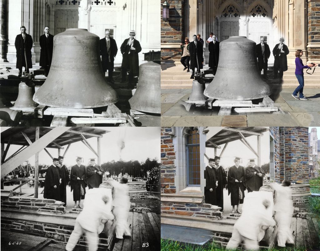
Comparing the following two images demonstrates the value of this technique in giving the observer a real sense of place and space in the study of history.


Ghosting the Past
I shoot new photos from the same position and perspective as historic photos and then artistically fuse them into one image. Sort of a time machine of the lens.
Click this image to see much more!
Photogrammetry and 3D Modeling
Photogrammetry is the process of creating high quality 3D models using multiple photos of a real world object.
I use Agisoft Photoscan, and Autodesk ReCap to create initial meshes, then Autodesk Meshmixer and Netfabb to correct imperfections and modify the models before sending to a 3D printer or exporting for online display or other applications.
Click this image to see my work.

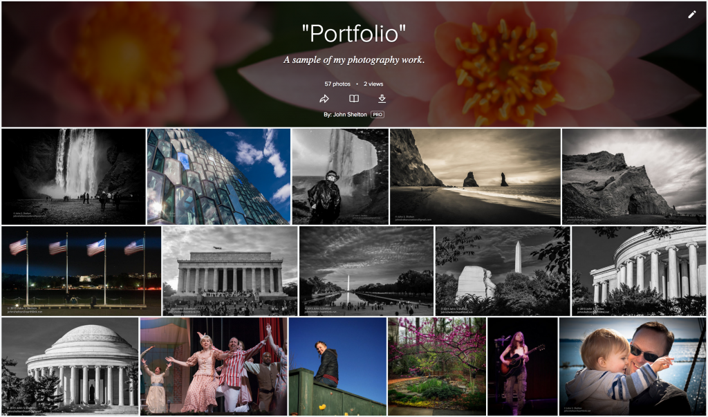
Photography
Click this image to see some of my best photography work.
Videography & Editing
I was tasked with conceptualizing, writing, shooting and editing a video to introduce our office to the rest of the school. Every group at the school had to make a presentation as part of a concerted effort to get to know each other. Since our office is already one of the highest profile and top rated offices in the school, I decided to take a humorous approach in an effort to entertain the “all hands” gathering.
I produced and directed this documentary film for my church as part of the retirement celebration for our Minister of Music. It was conceptualized, researched and guided in partnership with someone else but the remaining work (including interviewing, videography, lighting, story editing and audio/video editing) was mine alone.
Public Speaking / Training
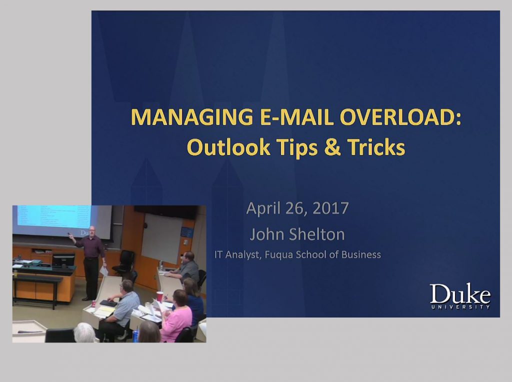
Click the image to view one of a number of training sessions I’ve conducted.